


The Cross Vermont Trail is multi-use (bike, walk, run, horseback ride, ski, snowmobile) trail system that, when completed, will stretch 90 miles from the New Hampshire border to Lake Champlain and connect various communities in the Winooski and Wells River Valleys. Currently, the CVT incorporates existing local trails, including several rail trails, and is working to improve and extend them with the ultimate goal of establishing a seamless statewide network. Where designated trails don’t exist, the CVT relies on the best available local roads to join the existing trails for those who want to make longer trips.
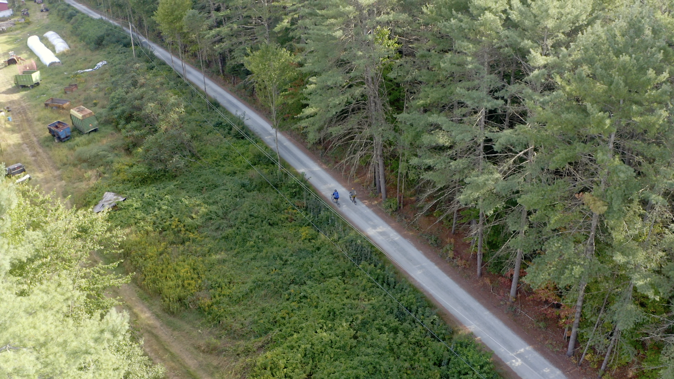
Much of the CVT network features well-groomed, gentle-grade or level gravel and paved sections, some winding through beautiful forests and farm country, as well as along lakes, rivers, and ponds. In some cases, such as the section that runs through the Groton State Forest, users can camp in state parks. Various towns along the trail offer restaurants, grocery stores, inns and B&B’s in which to resupply and spend the night. As such, the CVT also serves as economic engine for these communities.
The CVT website offers a helpful, interactive map for trip planning. It shows the detailed trail routes, as well as parking areas and points of interest. A PDF version can be downloaded and printed in 12 sections.
Each map section highlights roads that can be used to link each established trail section. The route is shown in the context of an area street map to help you orient to the trail location. A “cue sheet” accompanies each map with brief turn-by-turn directions (both east to west and west to east).
Download the printable maps and cue sheets here.