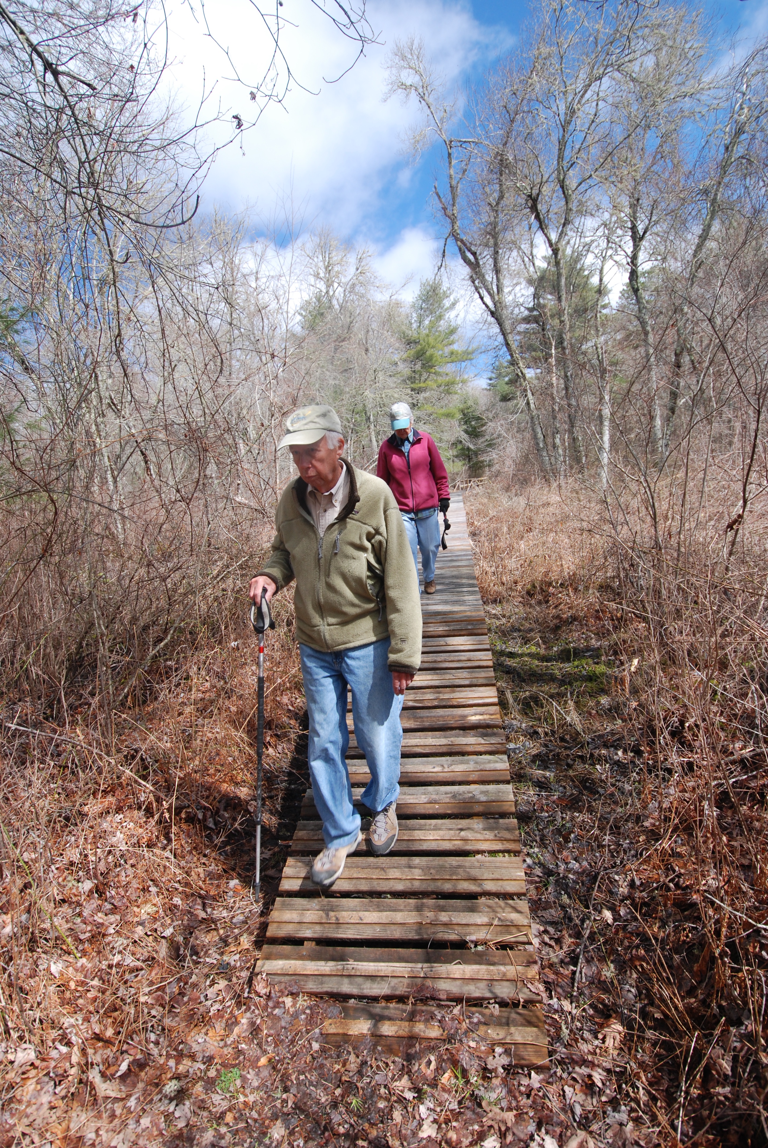


This easy hike in Marion, Massachusetts, is ideal for families with young kids, but seasoned hikers will also find plenty of interest. Hikes can be as short as an hour to as long as two or three.
The White Eagle property is managed by the Sippican Lands Trust, and the well-maintained trails wind through a variety of habitat, from cranberry bogs to freshwater marsh to pine woods. Waterproof boots are recommended, especially in spring or after periods of heavy rain, when low-lying parts of the trail can be flooded. The property is dog-friendly, and no motorized vehicles are allowed. As in most places these days, the use of tick-preventive clothing and sprays are recommended.
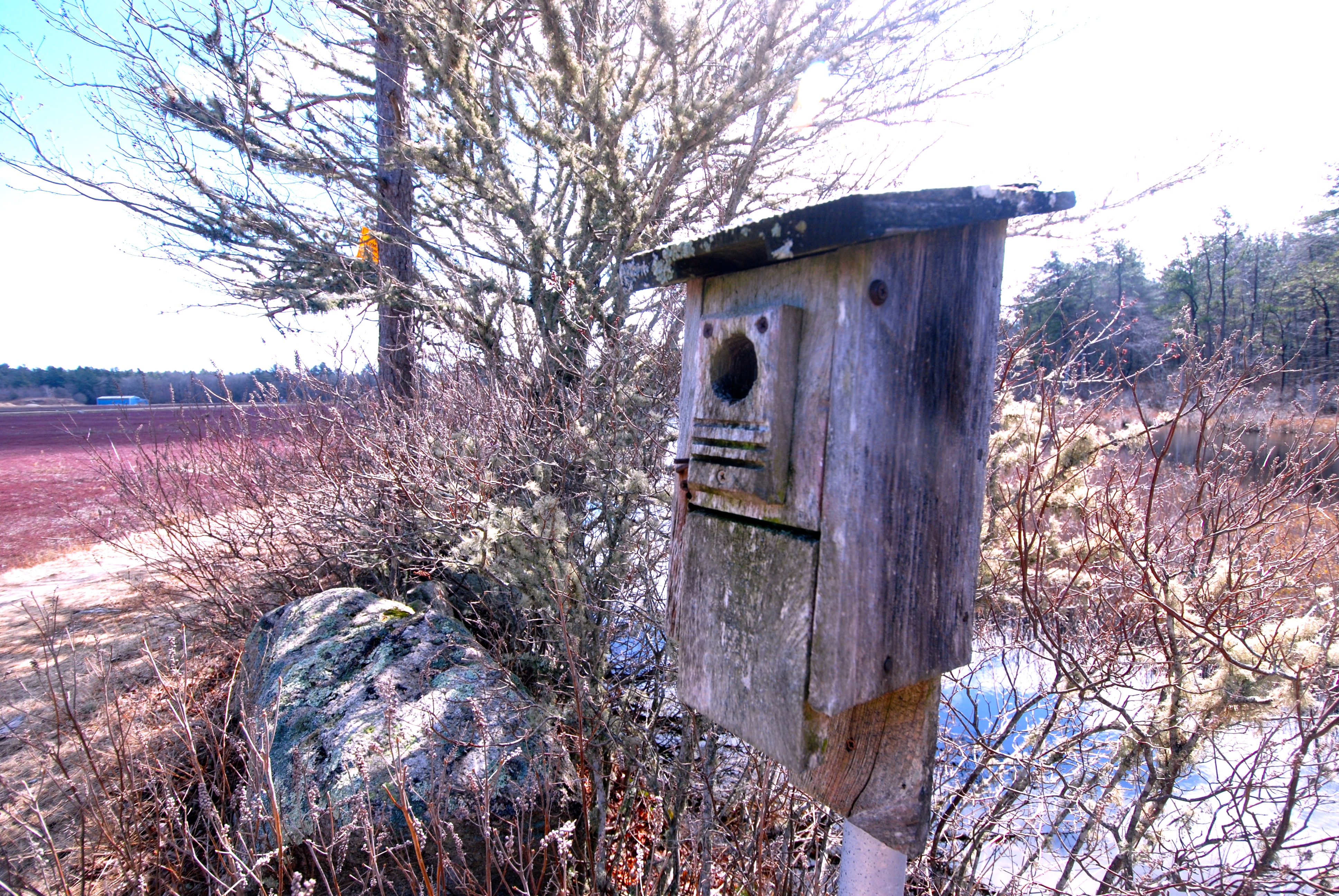
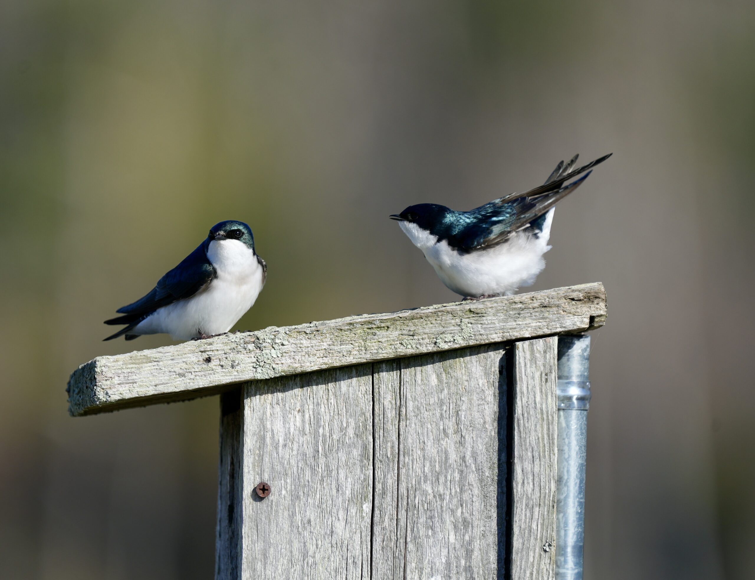
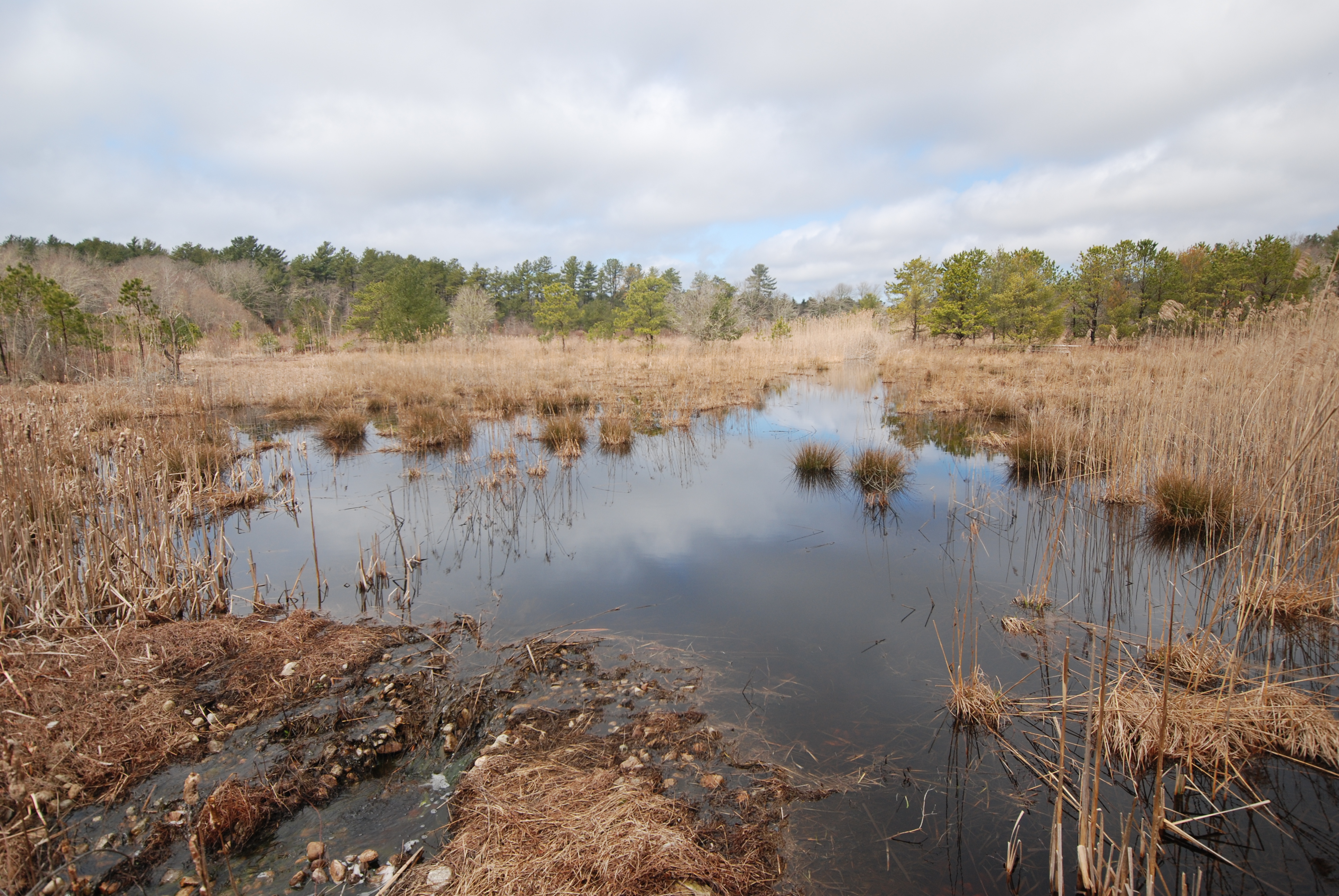
Several boardwalks span creeks and marshes on the property, offering excellent opportunities for viewing warbles, orioles and heron. Meanwhile, the mixed pine and deciduous forest is home to ovenbirds, veery, wood thrush, pine warblers, nuthatches, vireos, chickadees, woodpeckers, owls, and hawks. Open ponds filled with waterlilies and purple loosestrife used to flood the working cranberry bog on the property provide a home for ducks, geese, swans, redwing blackbirds, pickerel, turtles, and heron, while the numerous nesting boxes are well populated by tree swallows. Red-tailed hawks and osprey can also be seen soaring above.

The White Eagle property also connects to other Lands Trust trails, including one that leads past the remains of the Marconi Wireless Radio Station. Built in 1912, when the woods were cleared, the station included 14 400-foot-tall towers used to transmit low-frequency radio signals to points as far away as Norway. During both World Wars, the towers were also used to communicate with Navy ships and submarines. The station shut down in 1960, and the towers were dismantled; however, miles of steel cable and the concrete anchor bases, now covered in moss, can still be encountered in the woods.
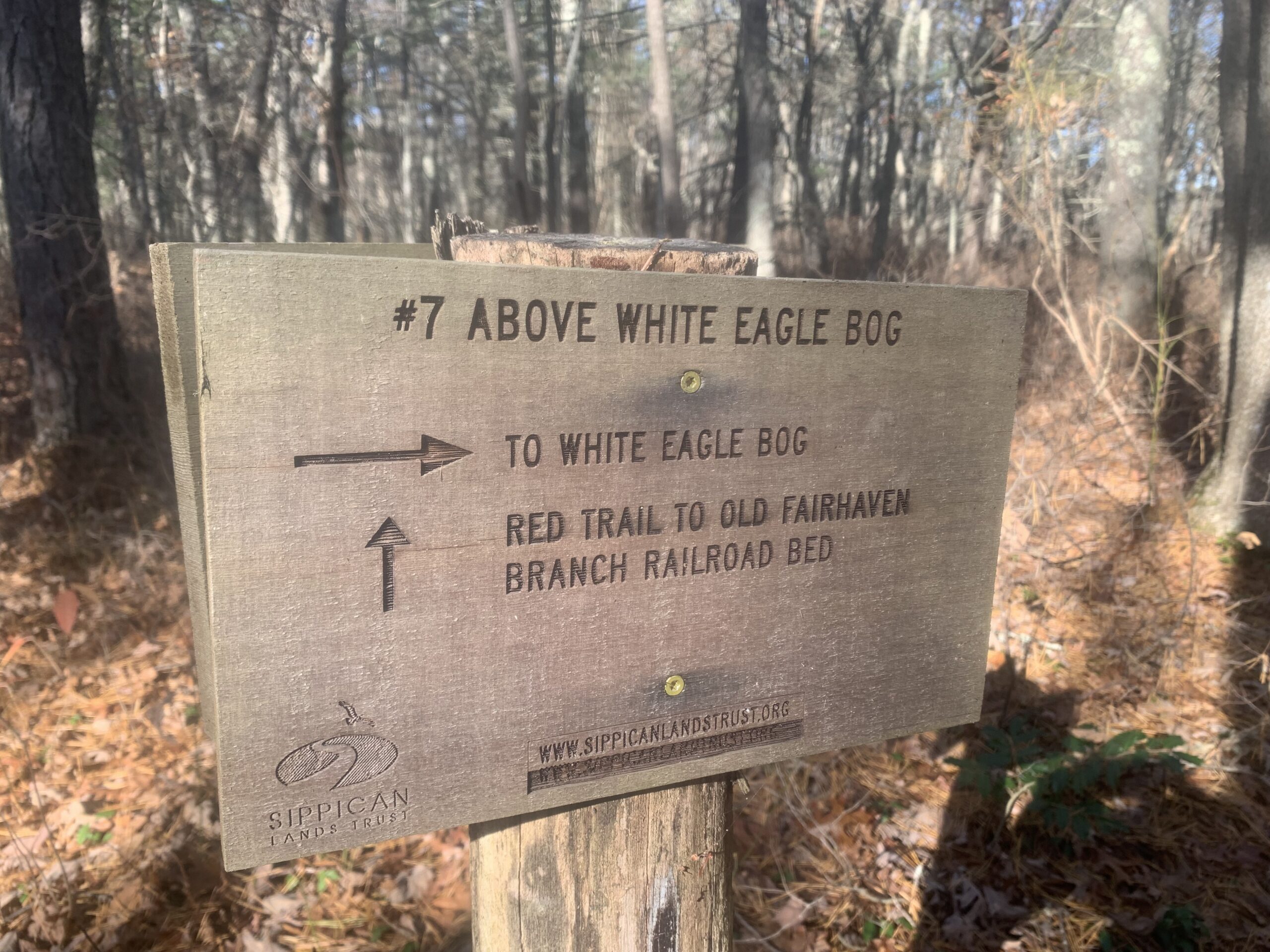
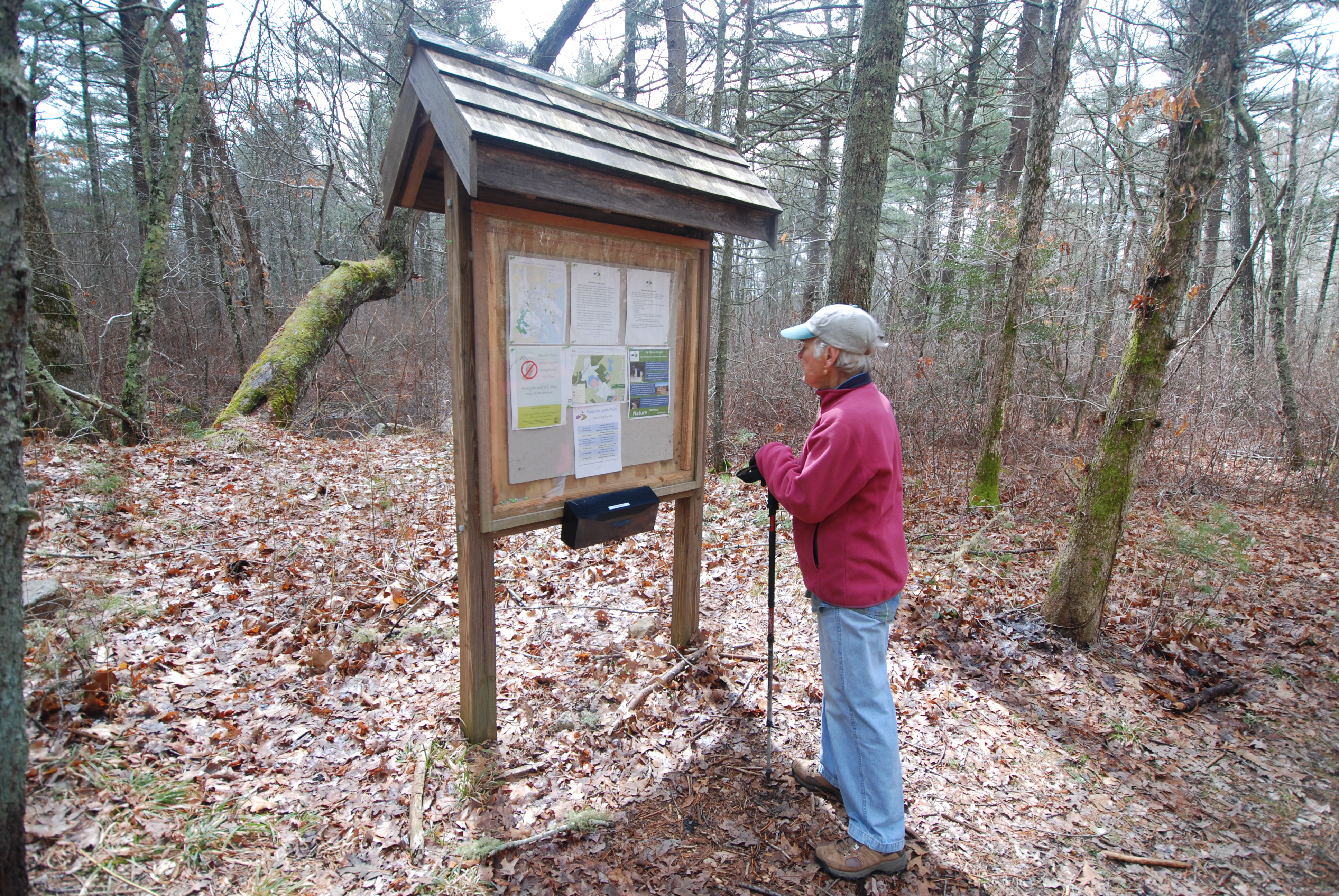
White Eagle can be accessed via a new (2024) parking area on Rte 6. A half-mile hike brings you to the old road that leads to several loop trails in the reserve. If you have a truck or SUV that can handle rugged potholed roads, you can also access the reserve via Parlowtown Road off Rte. 6. After a quarter-mile, the road curves left and becomes dirt–and riddled with large potholes. Another quarter-mile brings you to small parking areas on the right and left, offering immediate access to the red trail. Trails are well-marked with white and red blazes. A map of the property is available here.