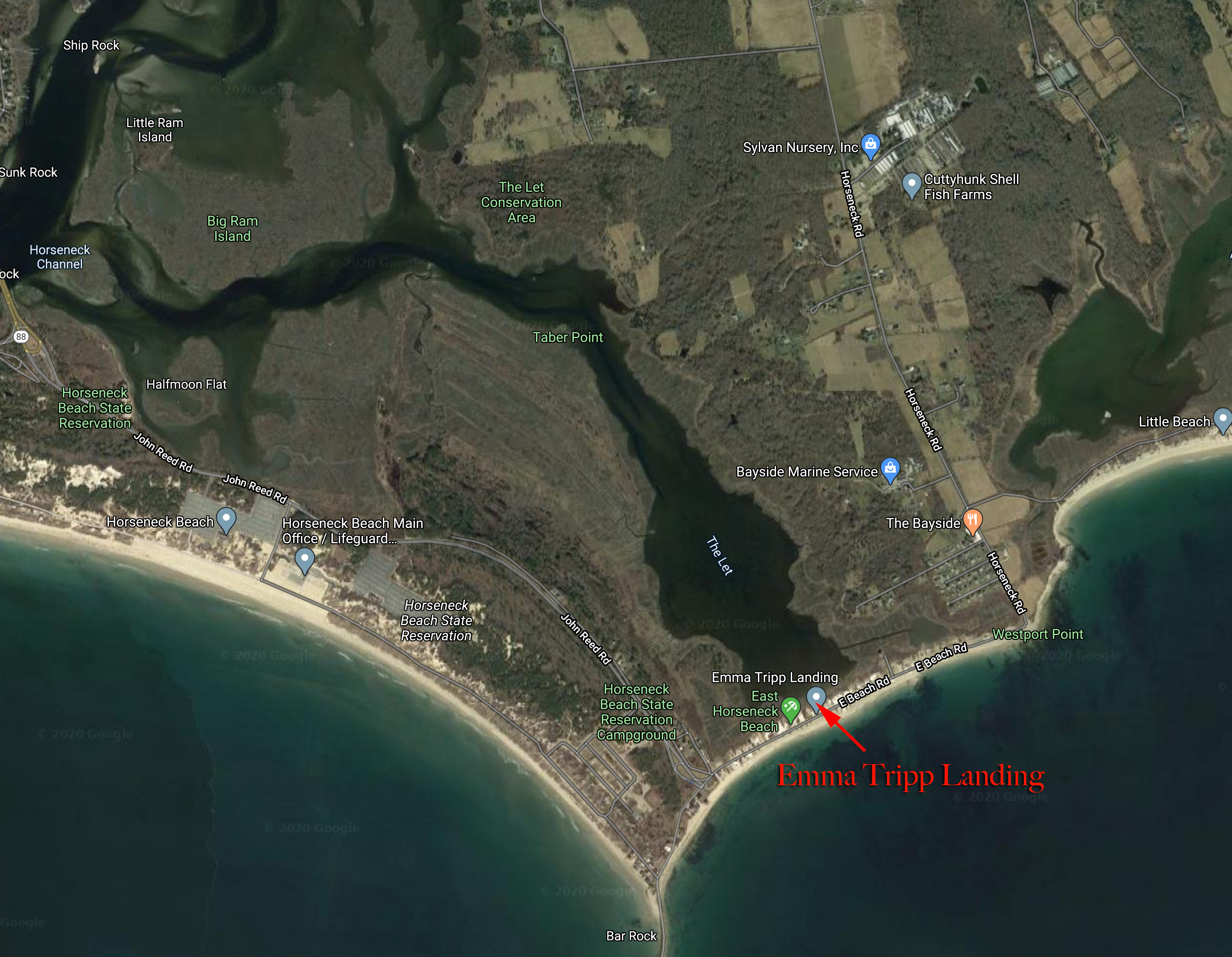


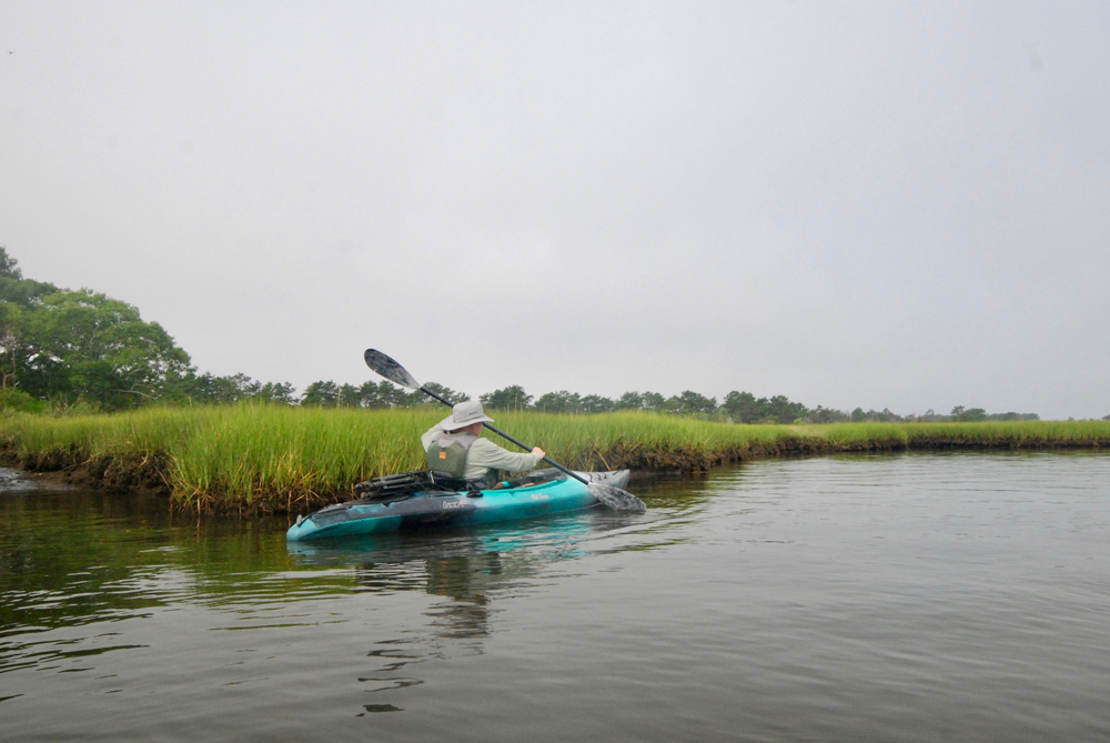
The vast saltmarsh of the lower Westport River in southeastern Massachusetts is home to one of the largest concentrations of osprey in the Northeast, and paddlers can enjoy close-up views of these fish hawks on a trip through this beautiful coastal area.
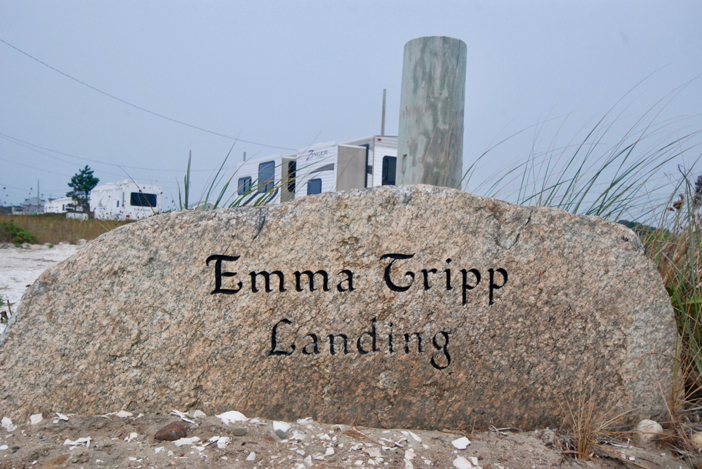
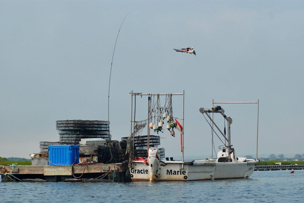
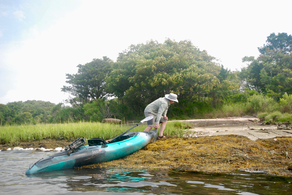
Access can be gained via the Emma Tripp Landing on East Beach Road. The landing is open to the general public, and is simply a dirt parking area with a small break in the marsh bank where you can launch a kayak, canoe, or SUP. The wide, shallow cove here is known as “The Let”, and is a productive spot for shellfish and a nursery for all sorts of juvenile finfish. Head north and you’ll soon see a vast oyster farm on the west bank near Taber Point, proof of the area’s fertility.
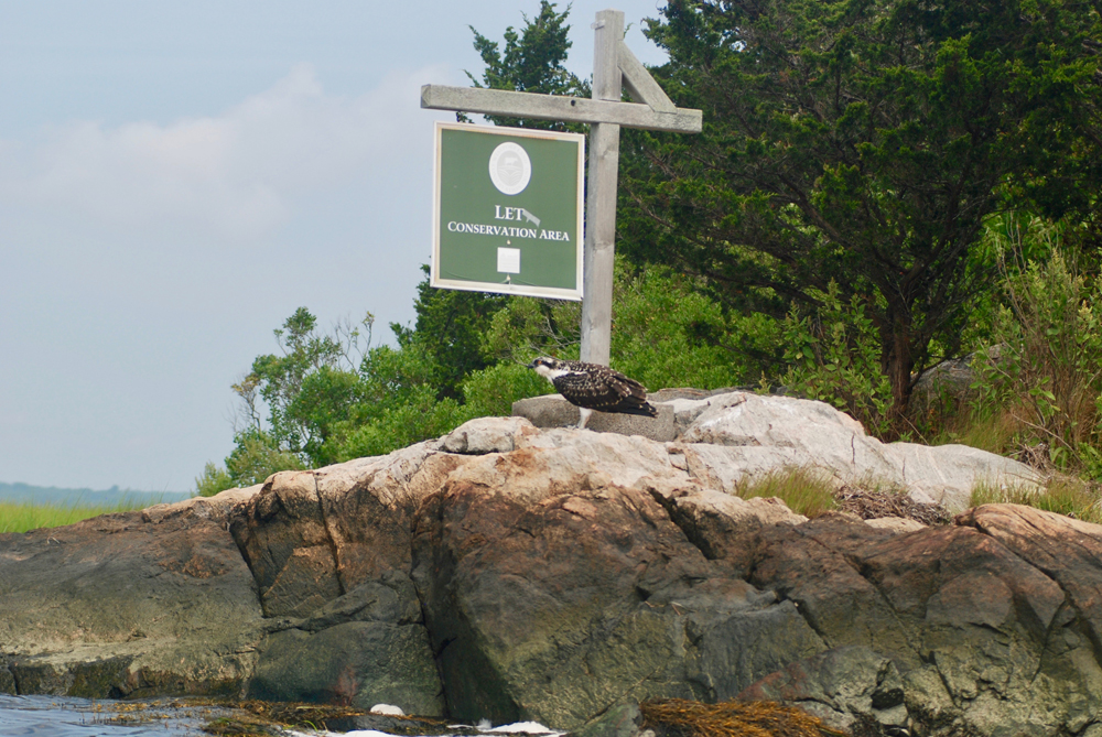
As you pass the last rows of oyster cages, look for the wide, flat rock on the opposite bank. This is a great spot to haul out for a rest or picnic. A few hundred feet north, you’ll see the sign marking The Let Conservation Area. Managed by the Westport Rivers Watershed Alliance, the 63-acre property comprises a network of walking trails that weave through the forested interior. Access to the property can only be gained by water.
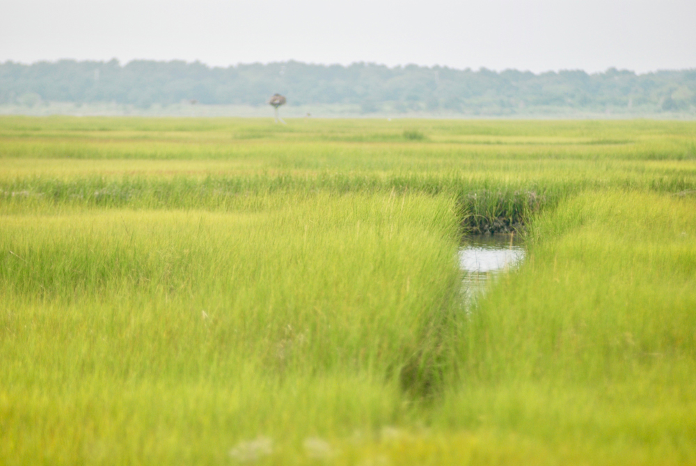
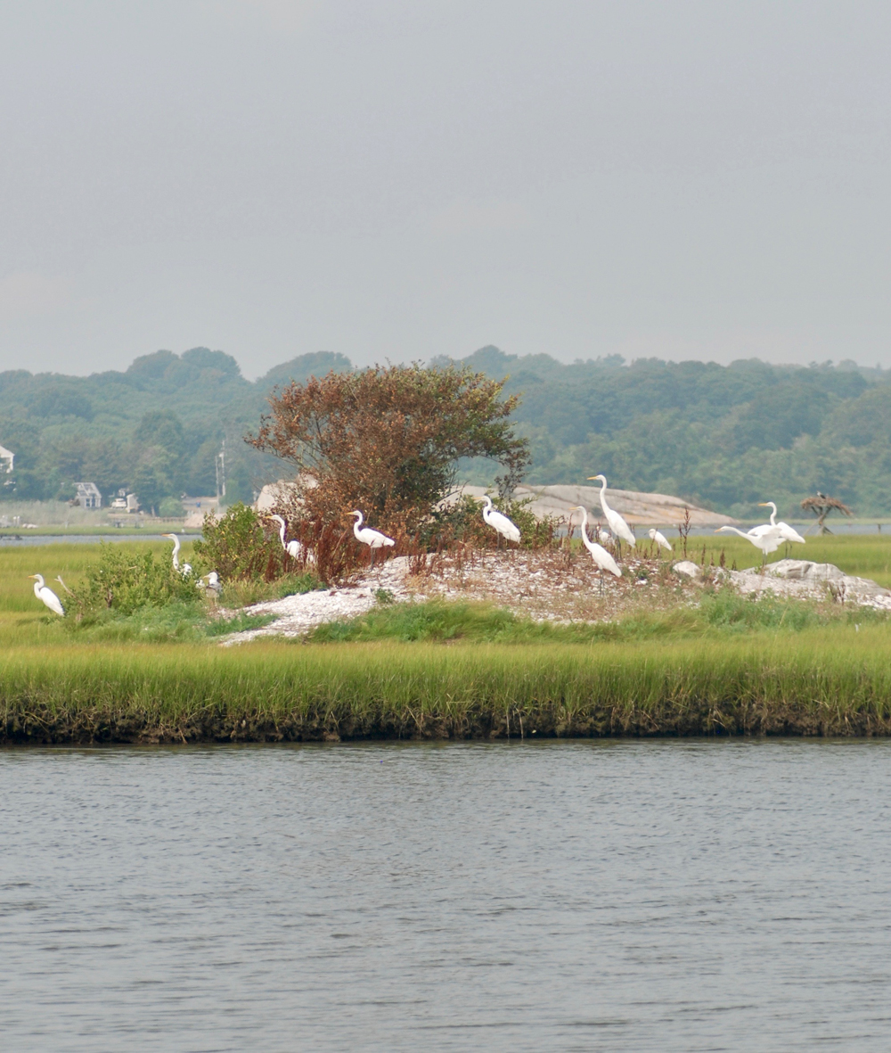
From this spot, you can paddle west toward the Rte. 88 bridge and Westport Harbor, or continue north toward the main channel of the Westport’s East Branch. Both routes skirt Big Ram Island, which is dotted with osprey nests and home to great egrets, great blue heron, lesser egrets, willet, green heron and other shorebirds. Fishing for striped bass can be very productive along the marsh edges and various creek mouths, especially in the spring and fall.
Note that these marshes are home to biting greenhead flies, which are most abundant through July and into early August. Be sure to cover up if you plan a trip during this period (greenheads are not thwarted by bugspray) and do not wear blue or green clothing, which attracts the insects. Many experienced paddlers plan their coastal marsh trips in spring and fall, when conditions are much more comfortable.