


It’s no secret that the arrival of European settlers in North America was not exactly a boon to the environment, but things really took a nosedive during industrialization. When technology imported from Europe in the early 1800s enabled the creation of hydro-powered textile mills, New England rivers were rapidly and dramatically altered. Dams were constructed and riverbanks hemmed by granite blocks. Anadromous fish were denied passage to upstream spawning and nursery areas.

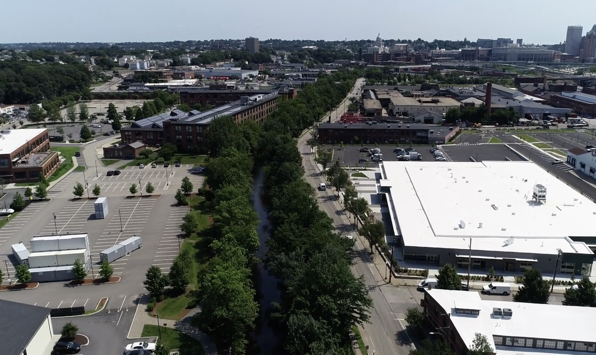
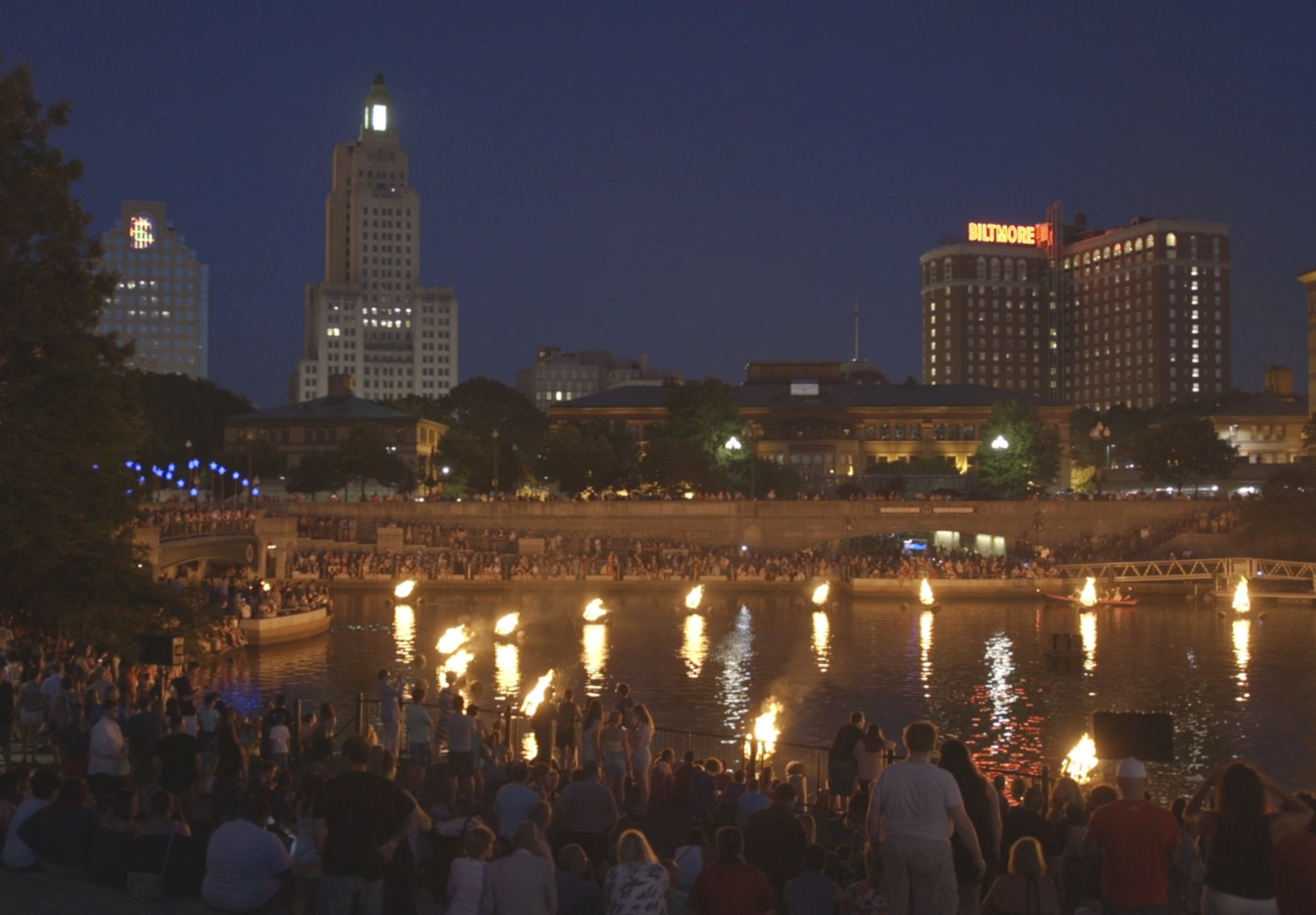
Treated solely as a means to commerce, rivers eventually became dumping grounds and, in the case of Rhode Island’s Woonasquatucket, sometimes eyesores to be hidden. For over 80 years, the last mile of the river was completely covered by the freight yards and parking lots of downtown Providence. Indeed, many city residents were unaware that a river flowed beneath their feet until the Woonasquatucket was uncovered (or “daylighted”) in the 1990s as part of an urban renaissance for the Rhode Island capital. Now the river is a jewel of the city, and celebrated during the popular “WaterFire Providence” events held from spring through fall. How times—and mindsets—have changed!
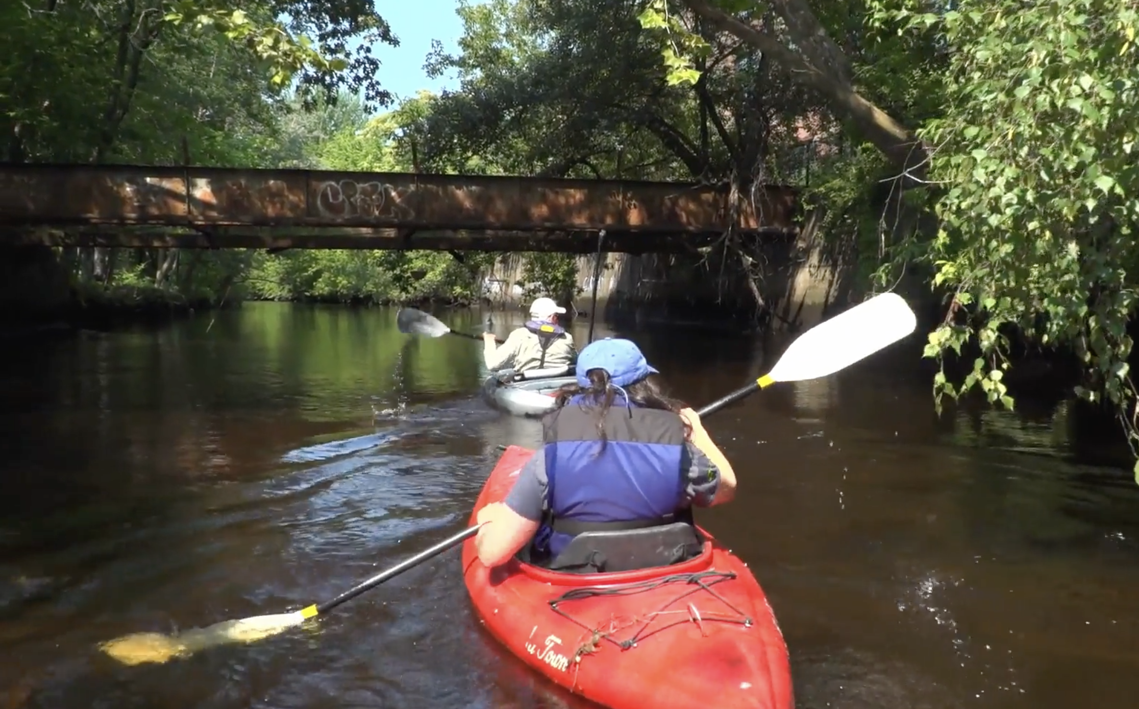
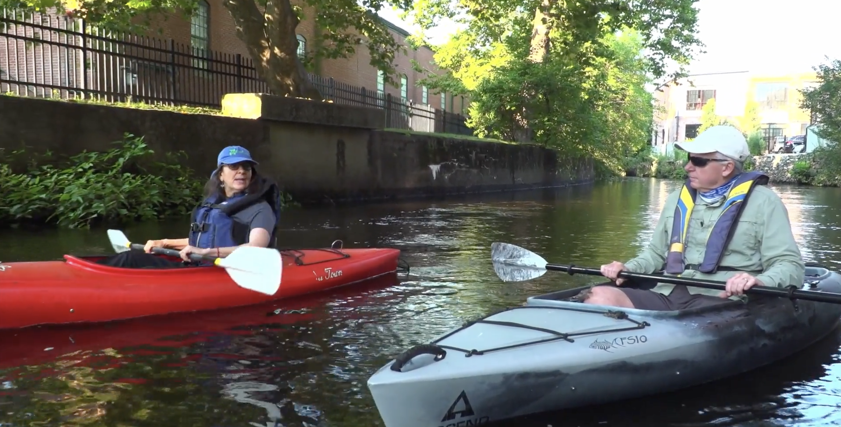
To learn more about the Woonasquatucket and its comeback, I got a personal kayak tour of the river with Alicia Lehrer, Executive Director of the Woonasquatucket River Watershed Council, which has been working to restore and enhance the river and its watershed since the early ‘90s. After parking near the WRWC offices in Olneyville, we dragged our kayaks to the swift-flowing river and headed downstream toward Providence, passing former mill buildings now serving as office space, apartments, and condos. At one point we paused along the granite embankment to examine a new “pocket park” that was being created along the river. This urban green space would soon feature oak trees and other native plants, as well as a launch area for paddlers.
As we continued downstream, I remarked on the clarity of the water. No longer is raw sewage and industrial waste dumped in the river, although combined stormwater overflow and non-point source pollution remain threats to the water quality. Old tires and other debris still litter the bottom, although it represents a fraction of the trash that has been removed from the river, much of it through cleanup events held by the WRWC and its many volunteers.

Paddlers should note that the Woonasquatucket is tidal as far as the first dam (striped bass are often seen in the river), and shallow in many spots above downtown Providence. Therefore, it’s best to plan trips around the upper stages of the tide or you might need to drag your kayak or canoe over the shallow bars. Also be aware that the bottom is strewn with debris, including jagged pieces of metal and broken bottles, so closed-toe sandals or other sturdy water shoes are recommended in case you need to enter the river. (Another note of caution: Heavy rain and spring runoff can raise the river level and increase the current flow to the point where paddling can be dangerous, especially to beginners.)
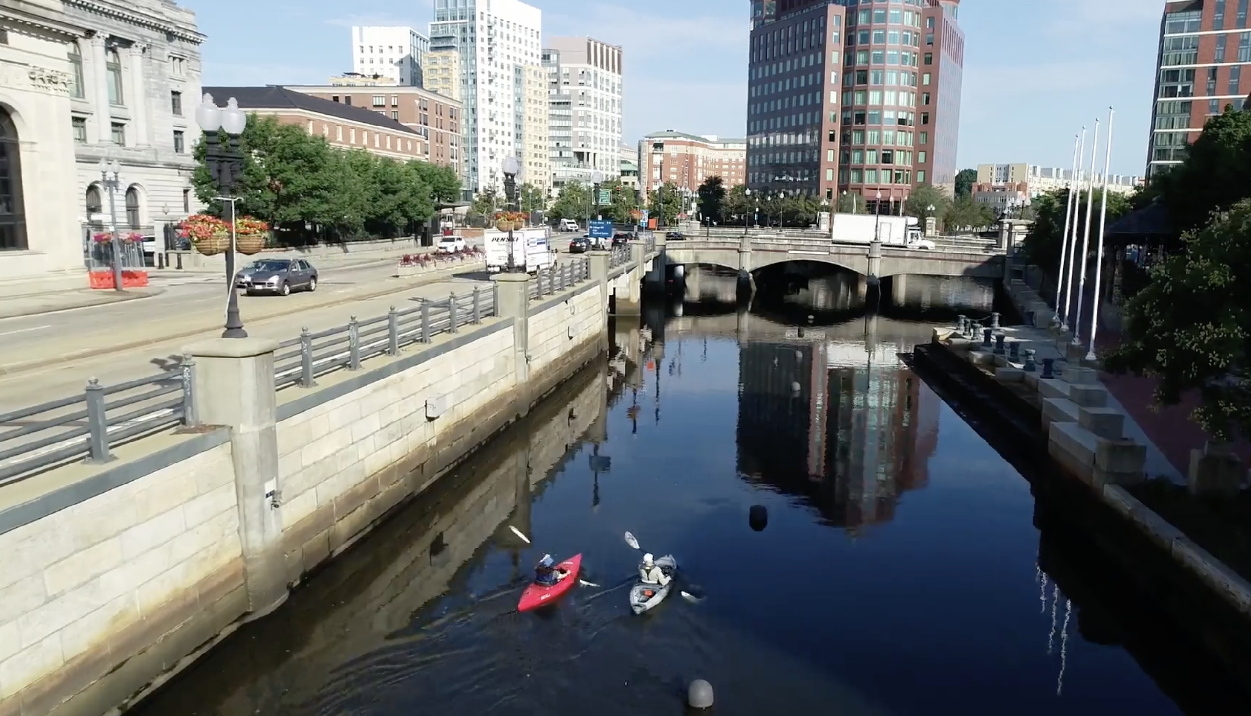
Roughly an hour into our trip, we passed below Interstate 95 and the Providence Place Mall parking lot, before arriving at the turning basin containing braziers in which wood is burned during WaterFire events. As we continued south through the city, we paddled under footbridges and still-covered sections of the river that resembled dank and gloomy catacombs. Firewood stashed for future WaterFires was stacked along the abutments.
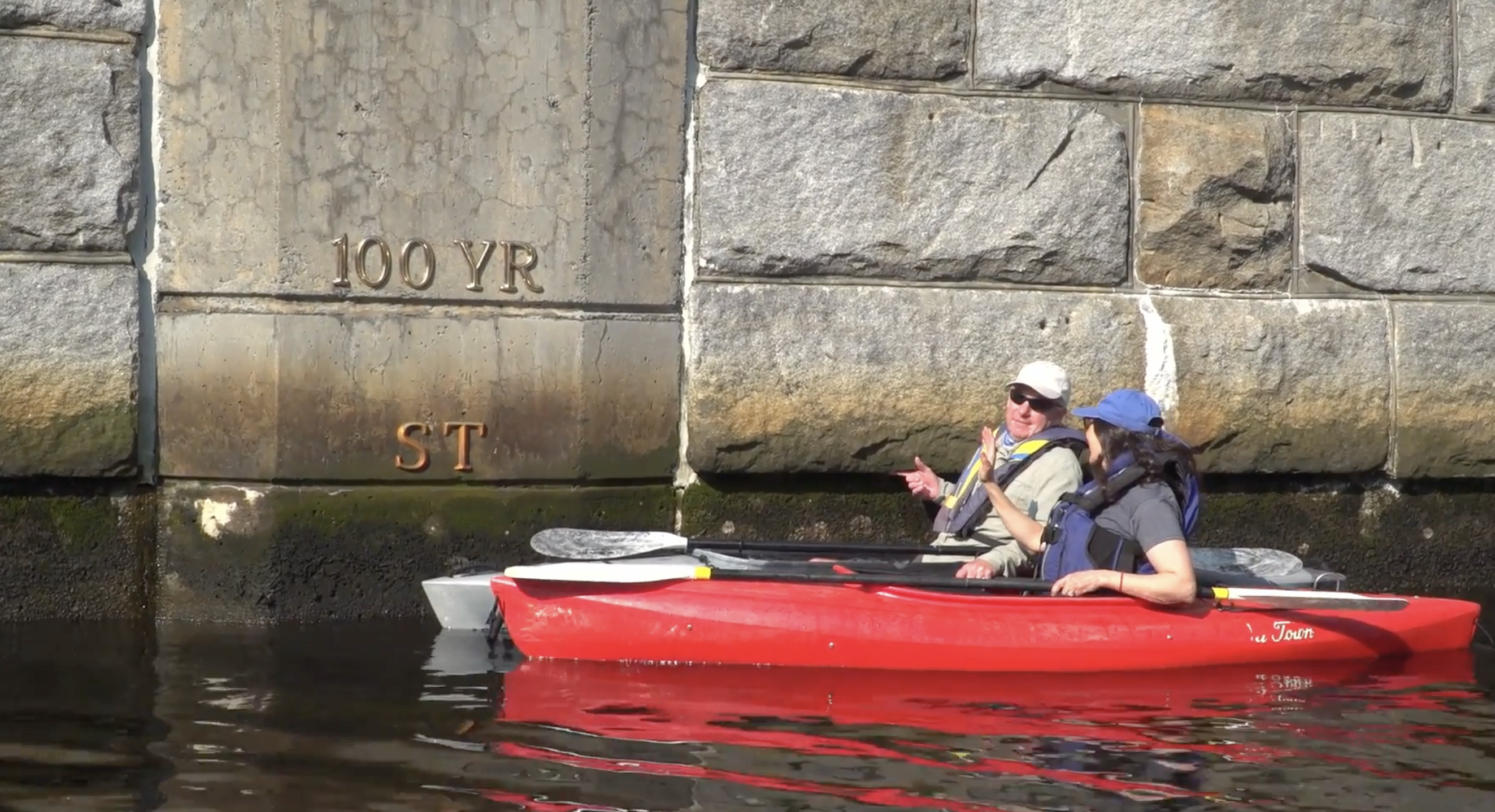
Eventually we came to the junction of the Woonasquatucket and the Moshassuck Rivers, which become the Providence River as it flows south to Narragansett Bay. At this point the river widens considerably although it remains only a few feet deep. A nearby granite wall near the junction bore marks indicating the river level during historic storms. At the very top was the marker for the Great Hurricane of 1938, which flooded most of downtown Providence. That storm resulted in the construction of the Hurricane Barrier—a set of massive steel doors below the Rte. 295 overpass that can be closed to prevent flooding during a storm surge.
With our tour concluded, Alicia and I turned our kayaks around and began paddling back upstream toward Olneyville. It had been an enlightening experience, on a much-abused river that is being seen in a new light.
If you are interested in seeing the Woonasquatucket for yourself, sign up for one of the WRWC group paddling tours. To learn more, visit the group’s website and click under “Events.”