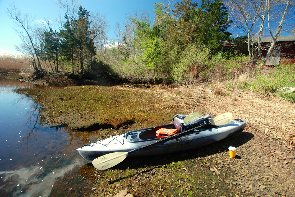


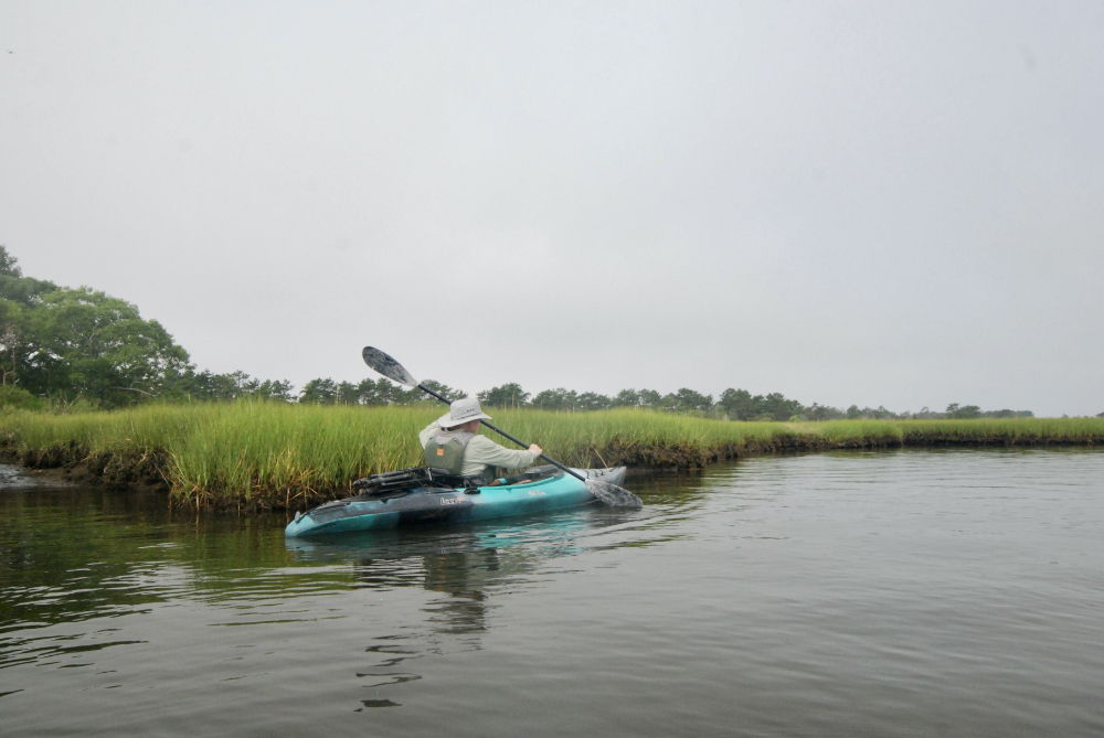
Southeastern Massachusetts is home to numerous estuaries, all of which can be accessed by canoe, kayak, and paddleboard. All of the following rivers provide the opportunity to explore unique, fecund coastal habitat containing numerous species of birds and fish. And you don’t need to be an expert paddler or own a fancy kayak to enjoy them!
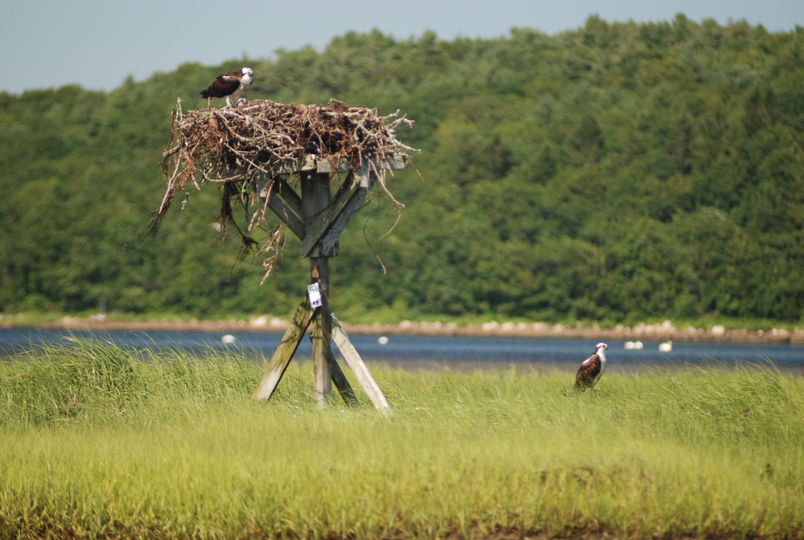
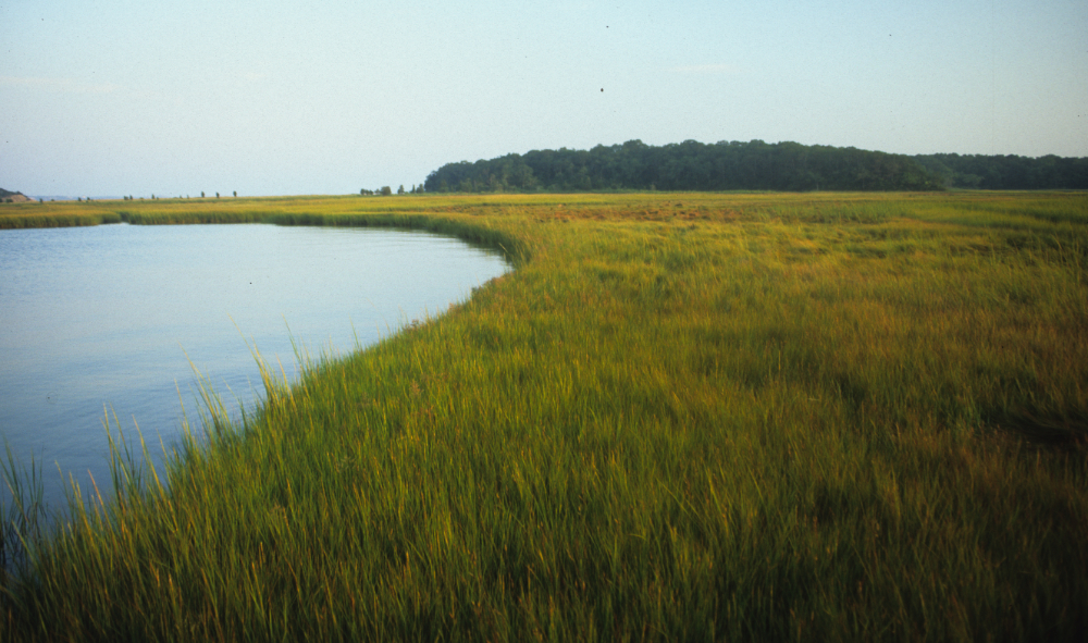
The Westport is a big river with two branches: West and East. The latter is accessible to the general public at Head of Tide (also home to Osprey Sea & Surf Adventures), with parking along the street. There are a couple of convenient “cut-outs” along the seawall here for launching a ‘yak, SUP, or canoe. Another launch spot is the big and busy state boat launch near the river mouth, just off the rotary after you cross the bridge on Rte. 88. This facility sees heavy current use, so please respect the powerboaters who use (and help pay for) this ramp. From here you can head west toward the river mouth and a sandy beach; however, use extreme caution around the inlet, which is affected by strong winds and currents, and can be very rough, especially on an ebb tide. It also sees heavy powerboat traffic. Heading upriver from the ramp will allow you to explore the quiet marshes and small, rocky islands, such as Whale Rock. A third place to launch is the obscure access site called Emma Tripp Landing, off East Beach Road. This spot only has room for a few vehicles, and offers access to a shallow, protected offshoot of the East Branch known as The Let. As you approach the main branch of the river, expansive marshlands spread before you, containing dozens of osprey nests.
The tidal Slocums River flows for some six miles from Russells Mills to lower Buzzards Bay. Along the way, you can expect to see plenty of birdlife, ranging from kingfishers to great blue herons. Near its headwaters, the river is shallow and narrow, bordered by tall marsh grass. It soon widens, flowing past bucolic farmland and thickly wooded shorelines dotted by residential homes. At the river mouth, you can stop for a rest and a swim at Demarest Lloyd State Park beach. The best put-in spot is the launch area at Russells Mills park and playground, which offers parking for several vehicles. But get there early on summer weekends to claim a spot.
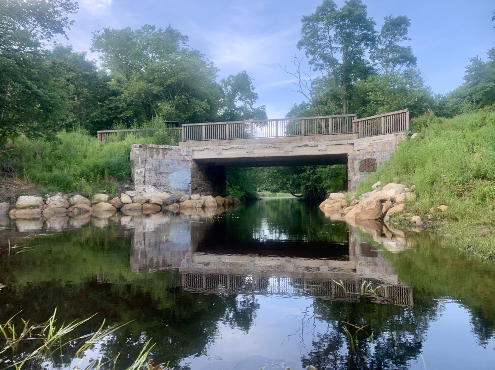
The tidal portion of this river offers a short but scenic paddle from the mouth to the dam and fish ladder at Rte. 6. Along the way, you’ll pass marshy shores bordered by shady oak and tupelo, and under a bridge that serves as part of the Mattapoisett Bike Trail. You can launch and park at the town landing at the Mattapoisett Wharf and Harbormaster’s office on Water Street. From here, follow the sandy shoreline west for a quarter-mile or so and you will reach the river mouth.
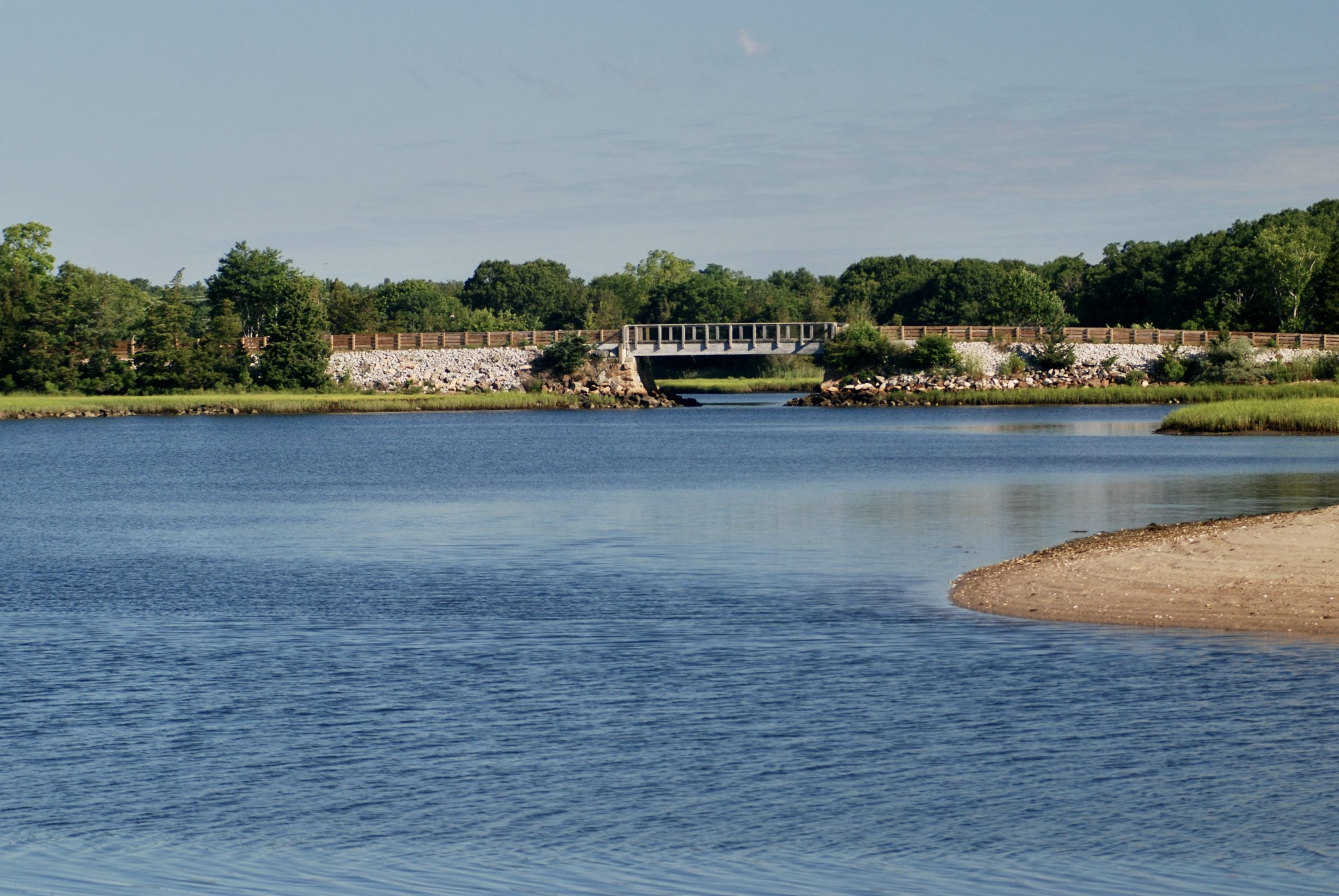
The Weweantic River stretches 17 miles from its junction with the Wareham River in upper Buzzards Bay to its headwaters well inland. The tidal portion can be accessed from either the state launch facility off Rte. 195 (lots of free parking) or Horseshoe Milll Reserve, at the head of tide (see link below for details). The lower Weweantic is very wide and offers great fishing for striped bass near its mouth in spring and fall. The deep channel below the power lines can be a particularly productive spot starting in late April or May. The river hosts annual runs of herring, alewives, sea lamprey, American eel, and rainbow smelt. If you choose to head upriver, you will eventually pass below Rte. 195 and find yourself in Horseshoe Pond, bordered by a 34-acre parcel owned by the Buzzards Bay Coalition and known as the Horseshore Mill reserve. This is a good spot to get out and stretch your legs on the nature trails before continuing north into the narrow, very shallow, and very different freshwater portion of the river. The Horseshoe Mill Reserve features two launch spots—one on either side of the former dam.
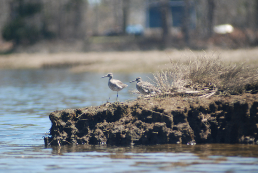
The Agawam is an underappreciated and somewhat urban tidal river that flows for seven miles from its junction with the Wareham River at Mayflower Point to the Mill Pond Dam and fishway. Access can be gained by parking along the railroad tracks next to the old depot behind Main Street in Wareham Center, or at the small put-in area behind the Tremont Nail Factory (technically on the Wareham River), which offers plenty of parking but is a bit hard to find. As you paddle the Agawam, watch for herons, osprey, willet, swans, sea ducks, loons, sandpipers, yellowlegs, kingfishers, egrets, and even bald eagles. In the early spring, dozens of osprey gather along the river to dive-bomb herring that are making their way upstream to spawn. Also keep an eye out for the tiny heads of diamondback terrapins poking above the surface, as the Agawam hosts a robust population of these threatened estuarine turtles.
Learn more about paddling the Agawam.